
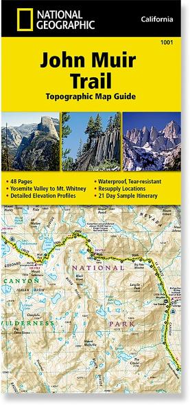
Along with a cup of coffee, the John Muir Trail: Topographic Map Guide helped us get our bearings each morning during our August 2021 trek. Our group used it to plan our day and agree on a meeting place near our planned campsites.
The thin, colorful, waterproof booklet packs 17 two-page maps in 4-by-9-inches, which makes it a perfect fit behind a water bottle in a backpack side pocket. We sometimes used a GPS app to verify our location, but when we wanted to find campsites, water sources, elevation, ranger stations, or which way to turn, this booklet proved invaluable. Of course, you will still want a GPS app to get updates on water sources, especially during a dry year like 2021.
If you are looking for bear storage containers, side trails, the name of a geographic feature, campfire information, or mileage between key points, your answer is just a quick reach away.
The maps are offered in digital downloads and there is an index of landmarks. Details about resupply, wilderness safety, and permits are also included, along with a 21-day itinerary.
We found Alan Castle’s John Muir Trail Cicerone guide to be a helpful accompaniment, with narrative packed full of valuable information.
