Why Is Minnie Returning to Colorado?

Why the photo of our rig from when we paused a few weeks ago on Colorado’s Wolf Creek Pass at 10,800 feet? Two reasons. First, my mom’s name, like our trailer, was Minnie, so our cross-country adventure has been dedicated to her memory.

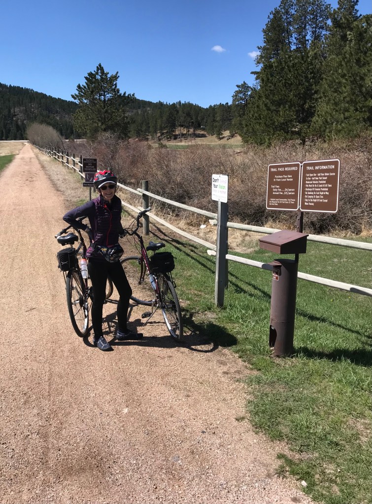
Second, Sue and I turned around in West Virginia and are heading back to Colorado. This time we will camp at 10,000 feet, near Breckenridge, to hike as many high-altitude trails as we can do in eight days. Why the heights? We are conditioning. Can you guess the trail we are planning to backpack in August? Hints: 243 miles, mostly above 10,000 feet, named after a pioneer.

At the end, we will have camped for 30 days straight. The tent-camping part is new for two hikers used to a bed and shower, even after grueling days on the trail. Can we do it? That is what I wondered in 2013 before our first distance trek, Spain’s Camino de Santiago.

Make Tracks on the Best Rail Trails in America

Begin the bicycle journey of a lifetime (or perhaps several lifetimes) on the rail trails of America, all 24,000 miles of them. If that sounds beyond your pedaling endurance, a book, the Rail Trail Hall of Fame, will show you the 33 premier paths spread across the country.

Setting off from our campsite at Rafter J Bar Ranch in South Dakota’s Black Hills earlier in May, we rode south on the 109-mile George S Mickelson path that begins in Deadwood and ends in Edgemont. First, Sue deposited our payments of $4 each per day at the self-pay station, which offered trail brochures, including an elevation chart.

It was all uphill from there. Until our turnaround point, that is. After six miles of battling the crushed rock surface rutted with tire tracks and horse-hoof divots, we ran out of power, stopping for lunch at a shady bench on our downhill return.

It was a beautiful trail, but we prefer smoother, flatter surfaces, and our second trail from the book was perfect. Beginning in the charming village of Nisswa, Minnesota, we pedaled north on the 119-mile Paul Bunyan State Trail. Paved, mostly flat, with weather to match the beauty of several of Minnesota’s 10,000 lakes. We turned around after 11 enjoyable miles, pausing for lunch at a trailside park in the inviting village of Pequot Lakes.

The guidebook includes maps, directions, and a summary of each trail. If the book is not enough for you, there is a TrailLink App and so much more available online. AllTrails also has biking information on some of its hiking trails.

Lifetimes of rail-trail bicycling await.