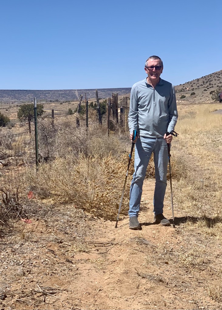

Sue’s camera caught me on two American national trails during the past week. In the top photo, the trail follows, for a spell, an historic American highway. Wanna take a guess?
The highway is Route 66; in Grants, New Mexico, the 3,200-mile Continental Divide Trail is the side of the famous road. For the photo, I grabbed Sue’s trekking poles for the (geeky?) pose. I took several steps and announced, ”I walked the CDT!”
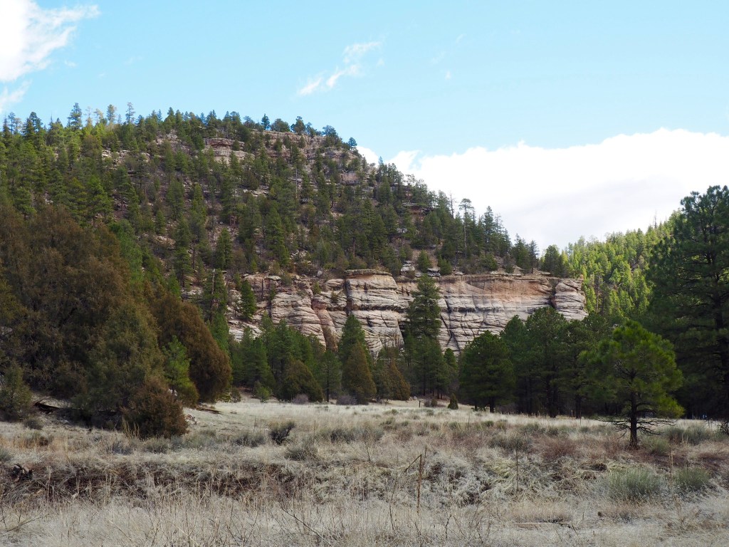
In the bottom two photos, the path is the Arizona Trail, which runs 800 miles from the Mexican border to Utah. We walked from just south of Flagstaff, Arizona to Fisher Point, an eight-mile out and back that rewarded us with a view of Walnut Canyon from the mountaintop in the bottom picture.
We encountered no thru hikers because the locations are not in places where thru trekkers typically travel during springtime.
The pair of paths are two of America’s 11 national scenic trails. The system also includes 19 historic trails and 1,300 recreation trails.